Historic Landscape
Characterisation
The Gwent Levels
14 Mathern
14 Mathern character area: small parcel of coastal alluvium.
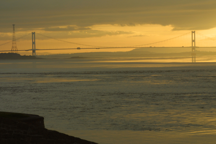
(Photo: GGAT Gwent Levels2 017)
Click here for a character
area map
Though the earliest references to reclaimed meadows in this area are sixteenth century, the landscape was almost certainly created in the high medieval period (eleventh to fourteenth century).
There is only very limited documentary evidence relating to the area of alluvium in Mathern and Chepstow. Numerous meadows are first recorded from the sixteenth century, though they are likely to have been reclaimed several centuries earlier. A "monks mead" hints at an association with the Bishops of Llandaff, who owned Mathern.
Key historic landscape characteristics
Irregular field pattern, earthern seawall, drainage features include
major artificial channel, sinuous droveways, no settlement
A discrete parcel of coastal alluvium, separated from the St. Pierre Level by the bedrock ridge at Red Cliff.
This area had a typical "irregular landscape", with two sinuous droveways, though no settlement. The Mathern/Chepstow parish boundary followed a major artificial channel of unknown date. The coastline is protected by a low earthen sea wall.
Though once an area of typical "irregular landscape", this unusually small parcel of coastal alluvium has been damaged by the removal of so many field-boundaries. The few surviving hedges are mainly cut. The railway and a set of pylons are also visually intrusive.
Overall, therefore, the integrity and coherence of this landscape has
been greatly damaged, though it remains a quiet and discrete area of wetland
landscape beside the Estuary.